What Happens When a Mesolithic Site is Found in the Scottish Mountains?

Most of the archaeological evidence we have of prehistoric hunter-gatherers who occupied Scottish mountains over 6,000 years ago is first identified as a few stone tools, eroding from a footpath or watercourse.
What happens after this discovery? And what are the next steps in developing our understanding of this material?
Assessing the landscape
One of the first steps is to analyse the landscape which is known as a “geomorphological assessment”. Mountains are dynamic landscapes which can make it difficult to know if artefacts have been discovered in their original location.
Some river terraces, or slope deposits, for example, are quite recent, and artefacts found on them might have been eroded and redeposited. But other landforms, such as outwash terraces, deltas or moraines, were deposited at the end of the last Ice Age (around 11,700 years ago), so material found here may indicate that this was where the hunter-gatherers left them thousands of years ago.
Test pits
Because much of the landscape is covered by peat, it’s normally necessary to dig test pits to find out how large the site might be.
Test pits are small excavations, maybe 50x50cm or 50x100cm, with the primary aim of recovering artefacts. Test pits are often dug on a grid system and allow archaeologists to identify concentrations or edges to a group of artefacts (known as an “artefact scatter”).

Test pits at Baddoch in the Highlands (Image Credit: Graeme Warren)
Excavation
The next step may be a full-scale excavation. Of course, it may not be necessary to excavate a site, which can be managed appropriately once information about its location and character has been identified through test pits.
In most cases, excavation takes place within a grid system of squares, allowing artefacts and samples to be located closely in space. Where possible, finds have their locations recorded to around 1cm resolution, allowing activity areas and potential structures to be identified. All excavated sediment is also sieved to maximise the recovery of artefacts.
In addition, routine soil samples are taken from each grid square. These are delivered to the post-excavation laboratory where they’re processed to extract small and fragile materials that couldn’t be identified by hand in the field, such as plant and wood remains which has turned into carbon as a result of fire (known as “carbonisation”).
Other samples might focus on the magnetic or chemical properties of the soil (known as “geochemical”) or extract intact blocks of sediment to study microscopic deposits (known as “microstratigraphic analysis”) which can tell us more about site formation and use.

Sieving at Sgòr an Eòin at the National Trust for Scotland’s Mar Lodge Estate in the Cairngorms (Image Copyright: Shahbaz Majeed 2023)
Post-excavation
Once materials have been recovered from a site, they need careful processing and analysis. This might include the identification of the species of plants recovered, and possibly choosing samples to send for radiocarbon dating (a method for determining the age of an object containing organic material).
Artefacts will be classified according to their size, shape and characteristics that tell us how they were manufactured. Archaeologists might also try to reassemble the fragments, blades and cores which is known as “refitting”. In addition, microscopic analysis of the working edge of tools can be used to identify the materials that an implement was used on.
As you can probably tell, post-excavation takes much longer than the excavation!
Reporting and archiving
The final step is producing an excavation report and archiving primary data. A report will review the materials recovered on site and the specialist analyses carried out, and compare it to other sites in Scotland and overseas. Increasingly, the reports that they produce are available open access online which means that they’re free for everyone to read.
All artefacts and other primary site materials (drawings and digital data including photographs and spatial information) will be fully processed and deposited with the appropriate museums and other archaeological data repositories.
This means that the evidence excavated today is available for researchers in the future to re-examine, and possibly to use new techniques that we can’t even imagine today.
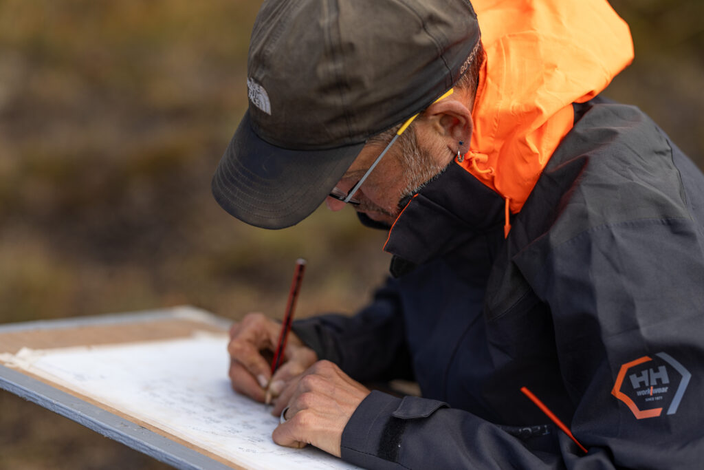
Drawing at Sgòr an Eòin at the National Trust for Scotland’s Mar Lodge Estate in the Cairngorms (Image Copyright: Shahbaz Majeed 2023)
Want to keep reading? Find out how you can help find sites like these in the Scottish mountains, get to know the prehistoric hunter-gatherers who occupied them, or discover more about lithic scatters across Scotland.
By Professor Graeme Warren FSAScot, an expert on the archaeology of hunter-gatherers and keen mountain runner. He is currently directing a project exploring the early human use of the Cairngorms and can be followed on X (Twitter) or contacted over email.
Header Image Copyright: Shahbaz Majeed 2023
