A Hebridean Highway? Water Travel in Prehistoric Scotland

Artefacts can tell us a lot about the lives of the people who made and used them, including how they travelled and passed around ideas. This is particularly important when investigating people in the prehistoric period (around 2,000 years ago and beyond) because they don’t appear to have written anything down for us to find. Fortunately, however, they left plenty of other clues. [NOTE: Article contains images and descriptions of human remains]
Travel and Trade in Prehistoric Scotland
National Museums Scotland holds thousands of wonderful objects which can reveal more about the country’s former inhabitants. For example, a barbed and tanged arrowhead found in Barabhas (Barvas) on the west coast of Leòdhas (Lewis) obviously tells us that the Leodhasaich (people living on Lewis) 4,000 years ago used bows and arrows as weapons.
But this tiny object also reveals more about the connections between the islands of Scotland at this time. The arrowhead is made of bloodstone, flakes of which have also been found on An t-Eilean Sgitheanach (Skye) and Beinn Tighe (Canna). Bloodstone outcrops are only found in one place in western Scotland – Rùm – which means that trade was taking place across the islands 4,000 years ago.
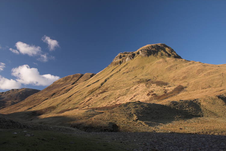
Bloodstone Hill on Rùm, so named because people have mined bloodstone (also known as chalcedony) from this hill for thousands of years (© Odd Wellis via Flickr, https://bit.ly/3mGta96, CC BY 2.0)
Similarly, stone axes made of porcellanite (a hard, dense rock that looks similar to porcelain) from County Antrim in Ireland have been found across Innse Gall (the Hebrides) as well as the rest of Britain, including the islands of An t-Eilean Sgitheanach, Leòdhas, Arainn (Arran), Barraigh (Barra), Eige (Eigg), Ìle (Islay) and Muile (Mull). There was clearly a very well-established trade network connecting these islands with not only one another, but with Ireland too.
Despite often being labelled as “remote” or “isolated”, people seem to have managed to traverse the waters between these islands just fine. For them, the sea would have acted as a kind of prehistoric highway, rather than a barrier.
But if we know people were moving around between the islands of Scotland and even further afield thousands of years ago, where are all their boats?
The Search for Ancient Vessels
We know that prehistoric seafaring must have happened, but the question of what it would have looked like is still being discussed by archaeologists.
Unfortunately, Scotland’s damp and acidic soil doesn’t preserve wood particularly well. What wood has been preserved – for example the Ballachullish figure from Inverness-shire – has survived thanks to being buried in bogs with no oxygen, which prevents bacteria from eating away at it.

The Carpow Logboat when it was uncovered (© Perth and Kinross Heritage Trust)
Fortunately, we do have some dug-out canoes dating to the Neolithic and Bronze Age, like this 3,000-year-old example from Carpow near Perth (now on display at Perth Museum and Art Gallery). But while dug-out canoes may have been the norm in rivers and lochs, would they have been suitable in the rough, unpredictable open waters of the Irish sea, or the Minch which separates the north-west Highlands from Na h-Eileanan A-Muigh (the Outer Hebrides)?
It’s entirely possible that another beautifully preserved prehistoric boat may be accidentally found during peat cutting on the islands, but in the meantime, there are alternative ways to find more evidence of prehistoric sea travel.
Thinking Outside the Box
Experimental Archaeology
Experimental archaeology is one way that we can learn more about ancient methods of transportation. Possibly a more suitable vessel for sea journeys would have been a coracle or currach – crafts made with animal skins stretched taut over a wooden frame. Coracles and currachs have a long history of use in Ireland and Wales and their light structure makes them not only easy to transport across land but flexible too. This flexibility might have been better suited to the waves of the Minch than a comparatively rigid log boat.
Their lightness would make them easily transferrable to use in lochs, a particularly useful trait for those living somewhere as loch-ridden as Uibhist (Uist). If this were the case, then sadly we’re unlikely to find any evidence. Materials like wood and animal skins are particularly vulnerable to erosion by the acidic soils and corrosive sea air of the islands.

Coracles (Nikhilb239 via Wikimedia Commons, CC BY-SA 4.0)
Because the originals are so rare and unlikely to survive, experiments with historical boat building have been ongoing across Europe since the 1960s, looking into boat technologies from all periods. One of the most recent saw the recreation of an Iron Age logboat in Lough Corrib as part of the UCC Pallasboy Project in 2019, along with its first successful voyage onto Lough Corrib itself. In the same year, students on placement in Kierikki successful constructed and used a round, one-person coracle.
Isotopic Analysis
Outwith experimental archaeology, another way to learn about population movements is to carry out isotopic analysis on prehistoric human remains. This kind of analysis can help us learn whether the person in question spent their early life in particular areas, or if they seem to have moved in from elsewhere. This can be done in two ways.
Firstly, through looking at a person’s diet. Radical shifts in diet throughout someone’s life can be seen in the chemical make of their bones, and can be an indicator that they moved. For example, if a person appears to have changed from a largely terrestrial diet (e.g. lots of meat from land based animals, such as cattle, boar, etc) to a mostly marine based diet (e.g. a lot of fish, shellfish, marine based mammals such as seals or whales), this could be a sign that they moved from somewhere inland to a much more coastal environment.
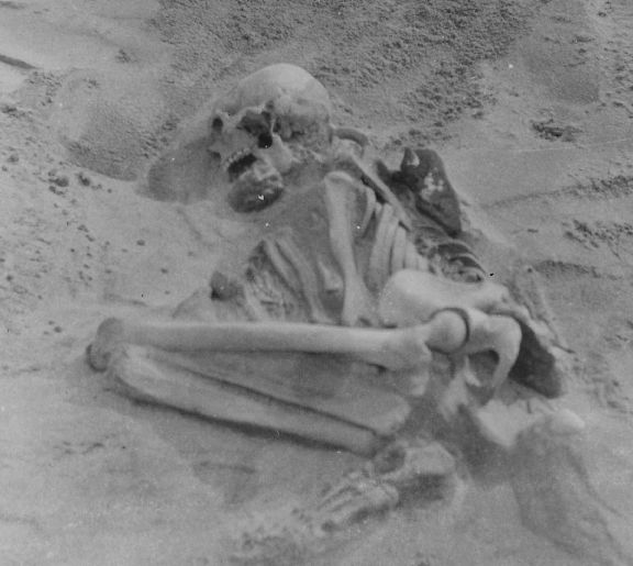
The burial of a Neolithic woman on Tiriodh (Tiree) (© Arthur Henderson Bishop estate. Image courtesy of The Hunterian, University of Glasgow)
Alternatively, our environment (particularly our local geology) can leave particular chemical signatures in our bones and teeth. These signatures are created through measuring the different amounts or ratios of the different types of elements, like Strontium and Sulphur.
For example, a ratio can be made from 87Sr and 86Sr (two different types of Strontium) for both a local area with a specific kind of underlying rock, whilst another ratio can be made for the individual being sampled. If the two ratios are similar, it could be an indication that the person originated from the local area; on the other hand, if the two ratios differ then the person is more likely to be an “outsider”.
This use of chemical signatures has been used in recent years on several prehistoric skeletons in Innse Gall – in particular, a young Neolithic woman found on Tiriodh (Tiree) has been shown to have a signature consistent with Hebridean living. What’s more, her signature is almost identical to another individual from Horgabost (Isle of Harris), signifying a possible Na h-Eileanan A-Muigh origin.
Like experimental archaeology, this method is more abstract than finding an ancient sea vessel, but isotopic analysis allows the prehistoric peoples themselves to tell us where they came from and where they went. More work is taking place right now using both isotope methods to try and better understand prehistoric Hebridean movements.
Were Ancient Island Communities “Remote”?
Even with all this evidence, how can we know that water travel itself was an important part of prehistoric Scottish life? Sailing may be a relatively slow method of travel, which compounds the idea that places like Leòdhas, An t-Eilean Sgitheanach and Barraigh were distant and isolating places to live, but it’s still a vital method of transport today.
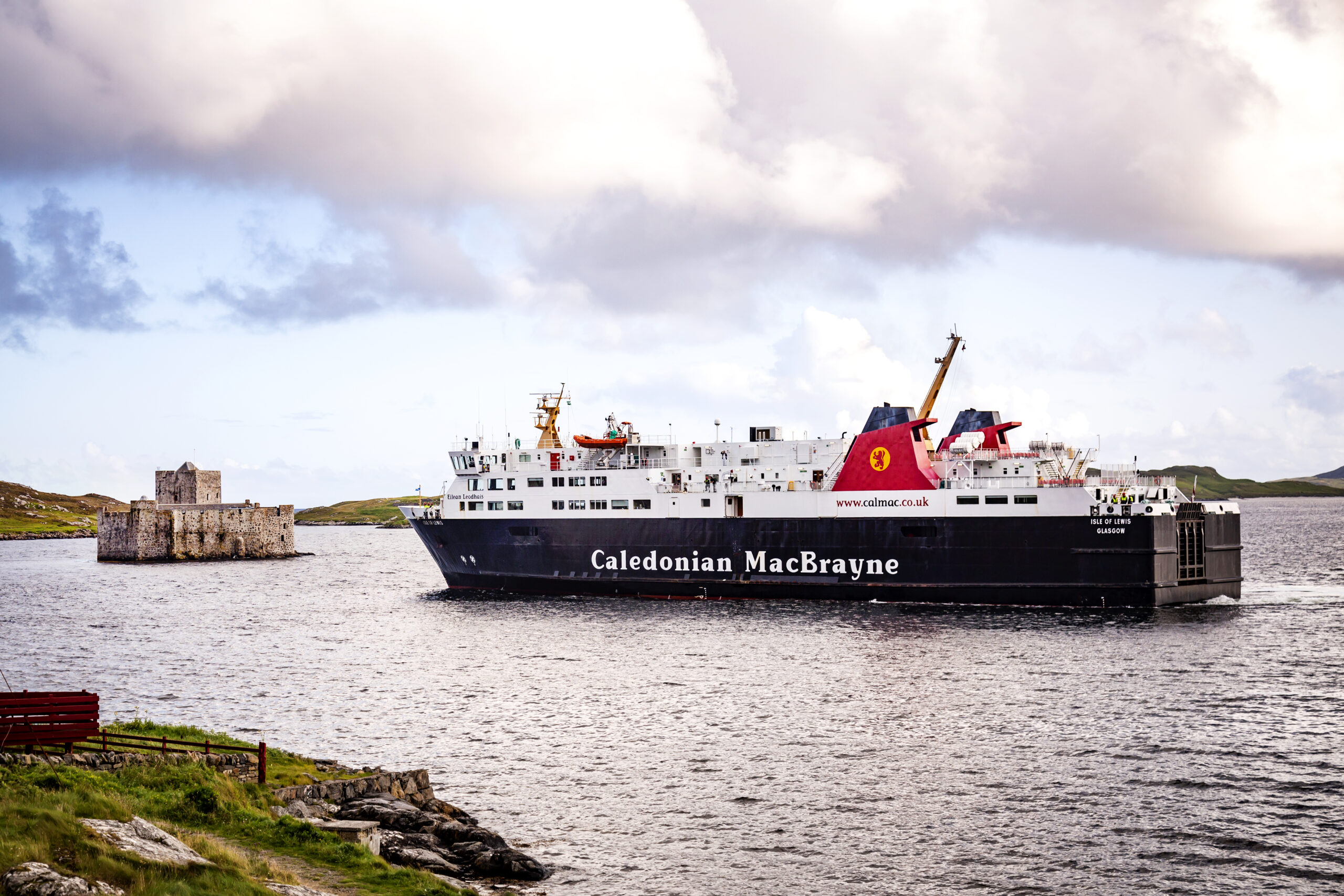
(© Rachel Keenan Photography)
For many island communities, modern ferries are a lifeline service bringing in essential supplies, while others rely on sailing to make a living – whether through fishing or by taking visitors to uninhabited neighbouring islands. This way of living, relying on the sea and the resources it provides, is integral to Hebridean life and has been throughout the centuries.
The ability to travel and move from island to island is so inherent to this existence that it exists in almost all of our songs, stories and history. From an islander’s perspective, it’s difficult to imagine any other way of existing and this was likely as true 4,000 years ago as it is today.
By Mairi MacLean, who is currently working on her PhD in human population movements during the Hebridean Neolithic and Bronze age. Using Radiocarbon, Isotopes and Bayesian analysis, she hopes to learn more about the ways prehistoric Hebrideans moved through their landscape.
Header Image: (© Rachel Keenan Photography)
This article was produced in support of Scotland’s Year of Coasts and Waters 2020-21.
![]()
