What is Landscape Surveying & Recording?
Archaeology doesn’t always start with digging. In fact, there is crucial work to be done before an archaeologist can even think about breaking ground. Survey is the first stage in establishing what is known and what gaps in knowledge exist about a site, a landscape or a building.
While working alongside Historic Environment Scotland’s Survey and Recording team completing an archaeology based traineeship, I learned a lot about how tools – traditional and modern – are fundamental to the practice of archaeological survey.
What is Surveying?
Archaeologists conduct surveys in order to interpret, analyse and record particular sites, historic monuments and study areas. The work I was involved in was non-intrusive, meaning it did not involve excavation but recorded remains visible above the ground. The vital information is fed into the National Record of the Historic Environment (NHRE) and used to better understand the past cultures of certain regions.
What Tools and Techniques Are Used?
Surveyors use a variety of different tools when carrying out their work which can include:
GPS – Stands for Global Positioning System, a satellite-based radio navigation system used to pinpoint your location anywhere on Earth
Total Station – A modern, electronic instrument that measures distances at both vertical and horizontal angles from the station to a particular point. This is commonly used by building construction as well as in archaeological survey.
Laser Scanner – Uses controlled laser beams to measure distances to physical objects and can build up a detailed 3D image.
Plane Table – A traditional survey method which uses a flat surface and basic equipment to draw maps and make field drawings.
GIS – Stands for Geographic Information System, which is a computer application that gathers data including spatial location and is organised by a function of layers.
Aerial Photography – Images taken by a photographer from a plane which can be studied to reveal archaeological features only identifiable from above, particularly useful for cropmarks.

In 2019, Historic Environment Scotland conducted an airborne survey of Arrain to map previously unseen archaeological features using LiDAR technology (© Historic Environment Scotland)
During landscape survey fieldwork the team discover and record archaeological sites across large areas and then select interesting sites for more detailed recording. One of the best things about Scotland is the diversity of landscapes from the Highlands to the Borders and the variety of remains that lie within them.
The surveys I worked on ranged from small scale carved stone recording to the interpretation of airborne laser scanned data across vast areas. Each job relied on a unique set of skills, an eagle eye for the archaeology and an understanding of which survey technique to apply.
How Do Satellites Help in Surveying?
GPS works using satellites and may sound familiar as it is now used on most mobile phones. As a tool for archaeological survey it is invaluable! My skills were tested to the limit at the North Sutor (the Sutor batteries were a national defence system that were set up around the British coast line during WW1 & WW2) remains on the Cromarty Firth in the Highlands. A GPS method called a “base and rover” was used. The rover is carried round by the surveyor and is essentially a GPS receiver attached to a computer pad with which you record relevant points on the site.
This method allowed for a survey of this extensive military site to be conducted accurately and efficiently, regardless of the conditions. When the technology works, GPS is a superb way to collect data on a larger archaeological site that contains wide-ranging features and allows the archaeologists to focus more attention on the interpretation and analysis.

Kat using GPS (Image Credit: Kat Gilmour)
Is There a Lot of Drawing Involved?
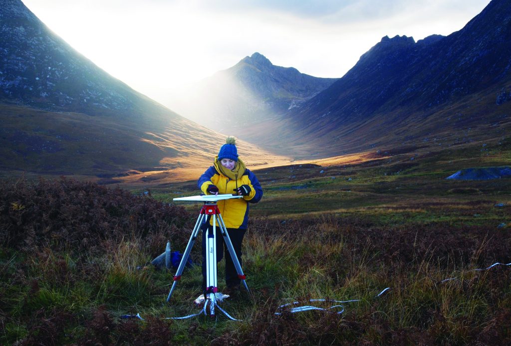
One of my first weeks of fieldwork involved visiting and recording several recumbent stone circles (where one or more of the stones are lying on their side) in the heart of Aberdeenshire. For this site we used the method of plane table and simple alidade, one of the oldest known mapping instruments. We spent the day observing, measuring and building a picture of the monument dot-by-dot until we had a finished drawing. Although traditional, it remains one of the best techniques to build up a detailed image of a specific site that can be produced and easily understood by all.
It is also one of the most accessible ways to conduct an archaeological survey: all you need is the table, an alidade, paper, a measuring tape, a pencil and most crucially, an eraser! Many enjoy this measured way of working because you get a chance to test your artistic side and you leave with a completed interpreted drawing. Although it takes time to produce the result it allows you to develop a good understanding of the monument. The kit is entirely waterproof too so there’s no excuse to stop if the weather takes a turn.
How Do You Survey on Foot?
The most memorable week of working in the archaeological team for me had to be on Arainn (The Isle of Arran). Previous visitors to the island will know how fantastic and exciting the archaeology is. This was a fieldwork week for the Rapid Archaeological Mapping Program which involved using a pen computer to investigate previously unrecorded sites that had been picked up on airborne laser scan data.
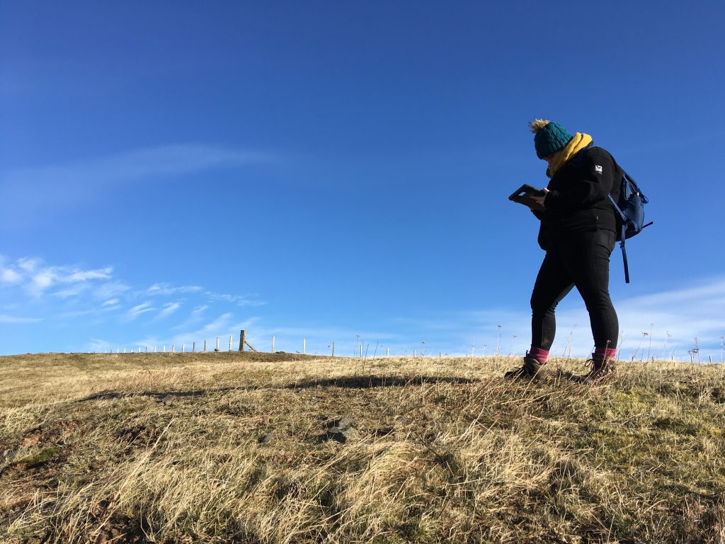
Kat gathering GIS data (Image Credit: Kat Gilmour)
Each team was given an area to revise for the day with a number of targets to reach and the opportunity to work with the mapping visualisations, as well as a chance to expand knowledge on a range of archaeological sites – including stone settings and a dun!
What I soon discovered is that simply walking the landscape can provide you with the best ways of identifying archaeological features, which you can then look up on Pastmap (an online data source which provides the user with archaeological and architectural information all included on a single map of Scotland). Unnatural looking bumps and lumps on the ground under further investigation could be a shieling hut, the remains of a burial cairn or even the ramparts of an Iron Age fort! Always keep an eye out and stay curious.
By Katrina Gilmour. Kat pursued an early career in Heritage, working at properties in care for both English Heritage and Historic Scotland. She then started an 18-month vocational traineeship with Historic Environment Scotland in October 2018, within the Survey and Recording team, working towards a qualification in Archaeological Practises. Her passions lie within community archaeology and graphic illustration.
Header Image: Kat using a plane table while surveying on Arainn (Arran) (Image Credit: Kat Gilmour)
